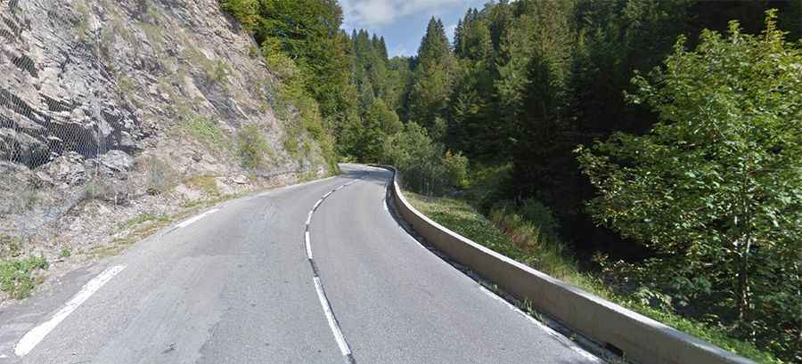
Col des Gets is a classic road trip in the Alps
Col des Gets is a mountain pass at an elevation of 1.170m (3,838ft) above the sea level, located in the Haute-Savoie department of France. The pass is traversed by the scenic Route des Grandes Alpes.
Where is Col des Gets?
The pass is located in the Auvergne-Rhône-Alpes region, in the south-eastern part of the country.
How long is the road to Col des Gets?
Set high in the French Alps, the road to the summit is totally paved. It’s called D902. The pass is 18.6 km (11.55km) long, running from Morzine, a ski resort to Taninges.
How steep is the road to Col des Gets?
Starting from Morzine, the ascent is 7.4 km long. Over this distance the elevation gain is 277 meters and the average percentage is 3.74% with a maximum slope of 6%. And starting from Taninges, the ascent is 12 km long. Over this distance the elevation gain is 560 meters and the average percentage is 4.67% with a maximum slope of 9.6%.