Col de Castillon is an Absolute Must for Road Lovers in the Alpes-Maritimes
Col de Castillon is a mountain pass at an elevation of 707 m (2,319 ft) above sea level, located in the Alpes-Maritimes department of France. The pass is traversed by the scenic Route des Grandes Alpes.
Where is Col de Castillon?
The pass is located in the Provence-Alpes-Côte d'Azur region, in the southeastern part of the country, near the Italian border. Near the summit, there are some military fortresses from WWII.
Why is it Called Col de Castillon?
The name Castillon derives from a village located just to the west of the pass. It was destroyed by an earthquake in 1877.
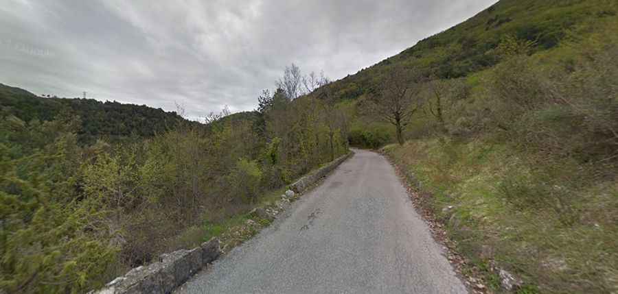
Is the Road to Col de Castillon Paved?
The road to the summit is fully paved. It’s called D54. It’s not an easy drive, with steep sections, narrow parts, and drop-offs. Due to its topography, the road was bypassed by a newer main road, which stays in the valley and goes through a tunnel. The pass therefore has very little traffic until the two roads converge above Menton.
How Long is the Road to Col de Castillon?
The road through the summit is 12.6 km (7.82 miles) long, running from Sospel to Col Saint Jean. The pass has been climbed by the Tour de France race.