Col de Saint-Alexis: A Scenic Gateway to the Vercors Highlands
Col de Saint-Alexis is a mountain pass at an elevation of 1,222m (4,009ft) above sea level, located in the Drôme department of southeastern France. Situated within the Vercors Regional Natural Park, this pass serves as a serene transition between the rugged southern ridges and the historic high plateau of the Auvergne-Rhône-Alpes region.
Where is Col de Saint-Alexis?
The pass is located in the heart of the Vercors, a limestone massif famous for its dramatic cliffs and deep gorges. The 7.7km (4.78 miles) route runs south-north, connecting the iconic Col de Rousset with the historic village of Vassieux-en-Vercors.
🇫🇷 Col de Saint-Alexis Technical Data
| Summit Elevation | 1,222m (4,009ft) |
| Route | Vassieux to Col de Rousset |
| Average Gradient | Approx. 3.5% |
| Regional Park | Parc Naturel Régional du Vercors |
Is Col de Saint-Alexis paved?
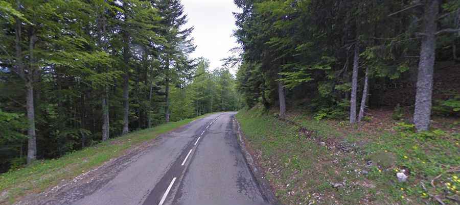
Unlike many of the dizzying, balcony-style roads the Vercors is known for (like Combe Laval), the road through Col de Saint-Alexis (the D76) is fully paved and remarkably straight. With no sharp hairpins and a very gentle gradient, it offers a relaxing drive or a steady climb for cyclists. It is often used as a "breather" route between more challenging nearby climbs.
The Historical Heart of France
Passing through Col de Saint-Alexis is not just about the scenery; it is a journey into history. The road leads directly to Vassieux-en-Vercors, a village that became a symbol of the French Resistance during World War II. Today, travelers can visit the nearby Mémorial de la Résistance, which overlooks the plateau and offers a poignant reminder of the region's past.
Is Col de Saint-Alexis open in winter?
Despite its relatively modest altitude for the French Prealps, the Vercors can experience heavy snowfall. The D76 is generally well-maintained as it is a vital link for the local cross-country skiing stations, but winter tires or chains are mandatory during the colder months to navigate the alpine plateau safely.