Travel guide to the top of Col des Glieres
Col des Glières is a mountain pass at an elevation of 1,440m (4,724ft) above sea level, located in the Haute-Savoie department of France. There is a 2 km gravel stretch.
Where is Col des Glières?
The pass is located in the Rhône-Alpes region, in the south-eastern part of the country.
Is the road to Col des Glières paved?
The road to the summit is mostly paved, with a +2 km gravel stretch on the eastern side of the road. It’s called D55.
How long is Col des Glières?
The pass is located in the very heart of the Glières Mountains. It is 24.3 km (15.09 miles) long, running west-east from Fillière to Glières-Val-de-Borne.
How challenging is Col des Glières?
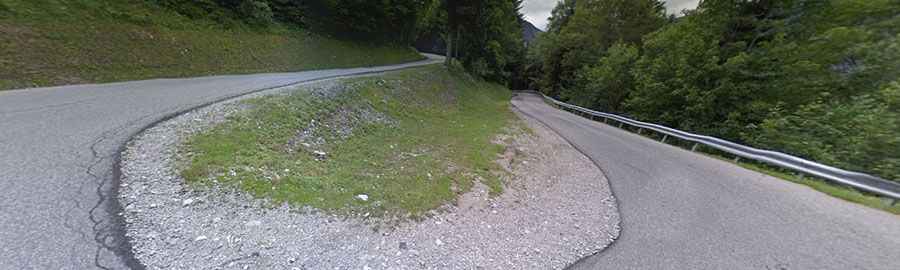
The road is pretty defiant and winds its way up the side of a cliff, with about 12 great hairpins. The climb has featured in the Tour de France race. It is quite steep in places (hitting a 15.0% maximum gradient through some of the ramps) and has superb views of waterfalls and mountains.
Is Col des Glières worth a visit?
At the summit, there’s a big parking lot and a monument to the Resistance, called Monument National de la Résistance. During WW2, this plateau was generally inaccessible in winter, and the Maquis (French resistance) used it as a base and for weapon drops from the English. It was the site of one of the biggest battles between the Nazis and the Maquis, with 149 of the French resistance killed in March 1944.