How to drive the paved road to Pas du Serpaton in Isere
Pas du Serpaton is a high mountain peak at an elevation of 1.613m (5,291ft) above sea level, located in the Isère department of France.
Where is Pas du Serpaton?
The summit is located in the Auvergne-Rhône-Alpes region, in the southeastern part of the country. The summit hosts a communication tower.
Is Pas du Serpaton paved?
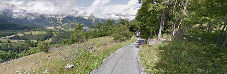
The road to the summit is fully paved. It’s pretty narrow and steep, with a couple of hairpin turns.
How long is the road to Pas du Serpaton?
Starting from Gresse-en-Vercors, the road to the summit is 4.5 km long. Over this distance, the elevation gain is 360 m and the average gradient is 8.00%. The last1.2 km, after a parking lot, are closed to private vehicles, blocked with a gate.