How to drive the unpaved road to Fort de Lenlon?
Fort de Lenlon is a high mountain military fortress at an elevation of 2.508m (8,228ft) above sea level, located in the Dauphiné region of France.
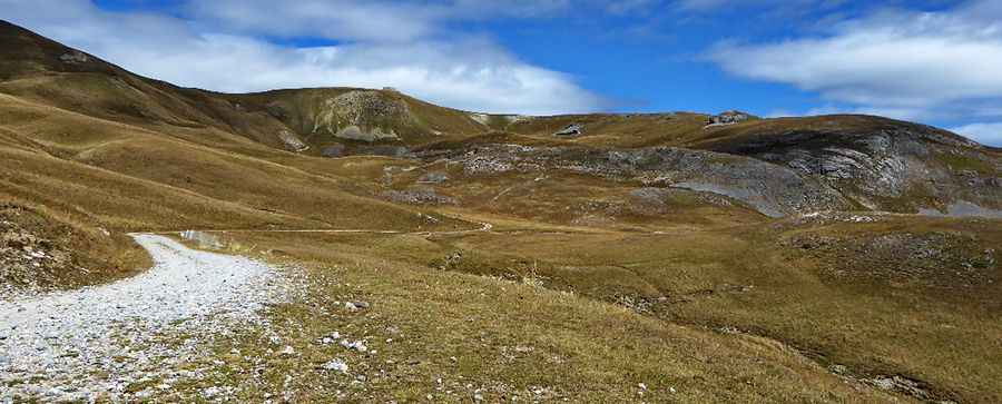
Where is Fort de Lenlon?
The fortress is located in the Provence-Alpes-Côte d'Azur region, in the southeastern part of the country.
When was Fort de Lenlon built?
The fortress was built between 1890 and 1893. The road is located in a restricted military area, so it is necessary to obtain a permit.
Is the road to Fort de Lenlon unpaved?
The road to the fortress is totally unpaved, narrow, very steep and curvy, with 6 hairpin turns.
How long is the road to Fort de Lenlon?
Starting from Granon, the road to the fortress is 6.4 km long. Over this distance, the elevation gain is 565m and the average gradient is 8.82%.
Is the road to Fort de Lenlon open year-round?
Set high in the Alps, the road is totally impassable in winters.
How to drive the unpaved road to Fort de l'Olive?
North of the fortress, a minor gravel road climbs up to Fort de l'Olive, a military fortress at an elevation of 2222m (7,290ft) above sea level. It was built between 1890 and 1894 to monitor and defend the crossings to and from Italy. It was used during the Second World War. Since 2011, it has been owned by the town of Névache. Starting from Fort de Lenlon, the road to Fort de l'Olive is 2.3 km long. The drive is very steep and curvy, featuring 12 hairpin turns.
Pic: Kurt Antlinger