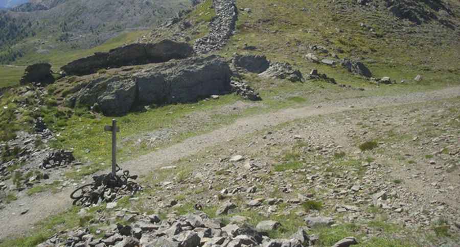
A gravel road to Col de Cibieres in the Alps
Col de Cibières is a high mountain pass at an elevation of 2,525m (8,284ft) above sea level, located in the Hautes-Alpes department of France.
Where is Col de Cibières?
The pass is located in the Provence-Alpes-Côte d'Azur region, in the southeastern part of the country.
Is Col de Cibières unpaved?
The road to the summit is totally unpaved, with many large stones and rocks. The drive is quite challenging, and a 4x4 vehicle is recommended.
How long is Col de Cibières?
The road through the pass is 7.0 km (4.34 miles) long, running from a side road on the north part of the paved D234T Road to Col du Granon.
Is the road to Col de Cibières open year-round?
Set high in the Alps, the road is usually impassable in winters due to heavy snowfalls.
Pic: https://cyclocolsensolo.files.wordpress.com/2014/07/col-des-cibic3a8res.jpg