Road trip guide: Conquering Punta Bagna in the Savoie
Punta Bagna is a high mountain peak at an elevation of 2,730m (8,956ft) above sea level, located in the Savoie department of France.
Where is Punta Bagna?
The peak is located near the iconic Fréjus Pass, in the Auvergne-Rhône-Alpes region, in the southeastern part of the country.
What’s at the summit of Punta Bagna?
At the summit, there’s a small bar and a chairlift.
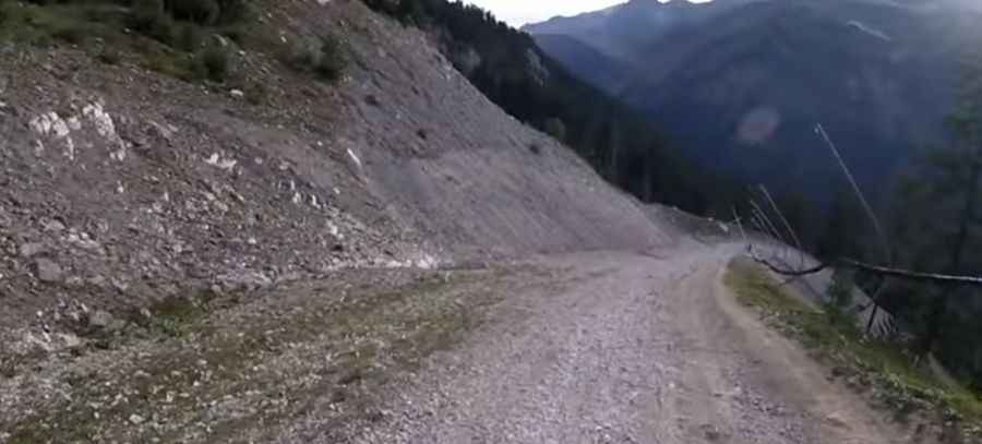
Is the road to Punta Bagna unpaved?
The road to the summit is totally unpaved. It’s a service road for the chairlift. It features narrow parts and very steep sections, hitting a 20% maximum gradient through some of the ramps. The road leads to the top station of the Fréjus cableway.
How long is the road to Punta Bagna?
Starting from Le Seuil, the road is 9.0 km (5.59 miles) long. It's one of the highest roads in the country.
Is the road to Punta Bagna open in winter?
Set high in the Cottian Alps range, the road is usually impassable from November to June (weather and snow permitting).
Pic: Wir seh'n uns unterwegs