How to drive the unpaved road to Col du Fort in the Alpes-Maritimes
Col du Fort is a high mountain pass at an elevation of 1.787m (5,862ft) above sea level, located in the Alpes-Maritimes department of France.
Where is Col du Fort?
The pass is located in the Provence-Alpes-Côte d'Azur region, in the southeastern part of the country.
When was the road to Col du Fort built?
The road was built between 1902 and 1907 to reach a nearby military fortress called Ouvrage Col du Fort, a lesser work of the Maginot Line's Alpine extension.
Is the road to Col du Fort unpaved?
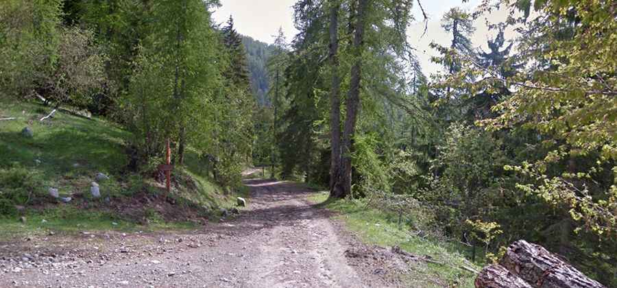
The road to the summit is totally unpaved. It’s an old military road. It’s very narrow and pretty steep. A 4x4 vehicle is recommended.
How long is the road to Col du Fort?
Starting from the paved D332, the road to the summit is 2.2 km long. Over this distance, the elevation gain is 117m and the average gradient is 5.31%.