An old military road to the top of Col de la Pare
Col de la Paré is a high mountain pass at an elevation of 2.412m (7,913ft) above sea level, located in the Savoie department of France.
Where is Col de la Paré?
The pass is located in the Rhône-Alpes region, in the southeastern part of the country, near Col des Rochilles.
When was the road to Col de la Paré built?
The road was constructed between 1902 and 1907 for military purposes.
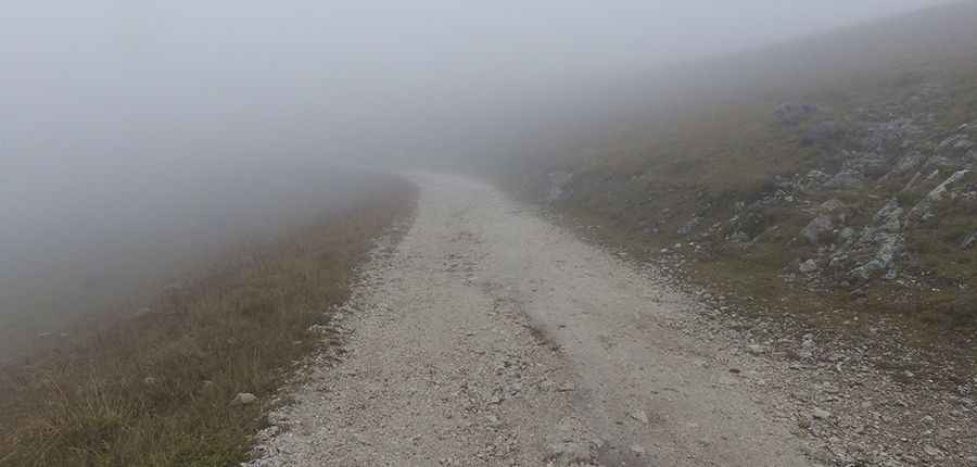
Is the road to Col de la Paré unpaved?
the road to the summit is mostly unpaved. It’s called called Route Militaire des Rochilles. A 4x4 vehicle is recommended for this rugged terrain.
Is Col de la Paré worth the drive?
At the summit, you can see landmarks like the Ouvrage Les Rochilles, part of the Maginot Line's Alpine extension, and the mountain shelter called Refuge du camp des Rochilles.
How long is the road to Col de la Paré?
The road starts from Parking de 3 lacs along the D902 road, south of Valloire, and spans 4.8 km (2.98 miles). It is narrow, steep, and features 16 hairpin turns.
Is the road to Col de la Paré open?
The road is usually impassable during winter due to heavy snow.
More pics&info: http://blog-randos.eklablog.com/topo-col-des-rochilles-2496m-lac-de-la-claree-2433m-a112598880