How to drive the old military road Pas du Roc in Savoie?
Pas du Roc is a high mountain pass at an elevation of 2.339m (7,673ft) above sea level, located in the Auvergne-Rhône-Alpes region of France.
Where is Pas du Roc?
The pass is located on the Plateau des Glieres area in Haute-Savoie department, in the south-eastern part of the country, near the Italian border.
When was the road to Pas du Roc built?
It’s an old military road built in 1830. Along the road there are several military constructions and fortresses. Near the summit sits the Ouvrage Pas du Roc, a lesser work (petit ouvrage) of the Maginot Line's Alpine extension, the Alpine Line.
Is the road to Pas du Roc unpaved?
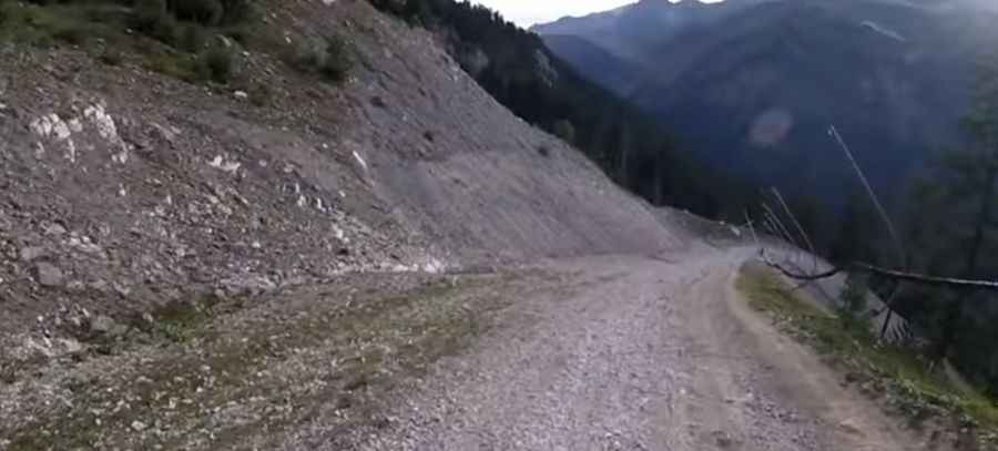
The road to the summit is totally unpaved. It comprises narrow parts, some hairpin turns and very steep sections, up to 20 %. 4x4 vehicles only. In many places bordered by a drop of hundreds of meters unprotected by guardrails. It’s closed to private vehicles.
How long is the road to Pas du Roc?
Starting from Valfréjus, the road to the summit is 6.2 km long. Over this distance, the elevation gain is 732m and the average gradient is 11.80%.
Is the road to Pas du Roc open year-round?
At this elevation, the track to the summit is impassable between September and June.
Pic: Wir seh'n uns unterwegs