How to drive the steep road to Refuge des Mottets in Savoie?
Chalet-Refuge des Mottets is a high mountain refuge at an elevation of 1.872m (6,1414ft) above sea level located in the Savoie department of France.
Where is Refuge des Mottets?
The hut is located in the Rhône-Alpes region, in the southeastern part of the country. A boulder above the refuge contains a memorial to US aviators.
Is the road to Refuge des Mottets paved?
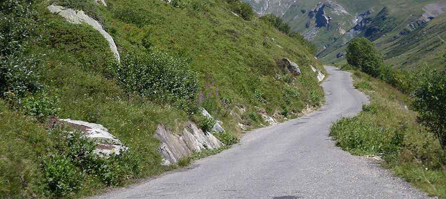
The road to the refuge comprises paved and unpaved sections. It’s very narrow and steep in parts.
How long is the road to Refuge des Mottets?
Starting from La ville des Glaciers, the road to the summit is 2.2 km long. Over this distance, the elevation gain is 123m and the average gradient is 5.59%.
Is the road to Refuge des Mottets open year-round?
Set high south of the Mont Blanc mountain range, in the magnificent Vallée des Glaciers, the road is usually impassable in winters.
Pic: chisloup [CC BY 3.0 (https://creativecommons.org/licenses/by/3.0)], via Wikimedia Commons