Col de la Colombiere: The Ultimate Road Trip Guide
Col de la Colombière is a high mountain pass at an elevation of 1,613m (5,292ft) above sea level, located in the Haute-Savoie department of France. The pass is traversed by the scenic Route des Grandes Alpes.
Where is Col de la Colombière?
The pass is located in the Auvergne-Rhône-Alpes region in the southeastern part of the country.
How long is the road to Col de la Colombière in France?
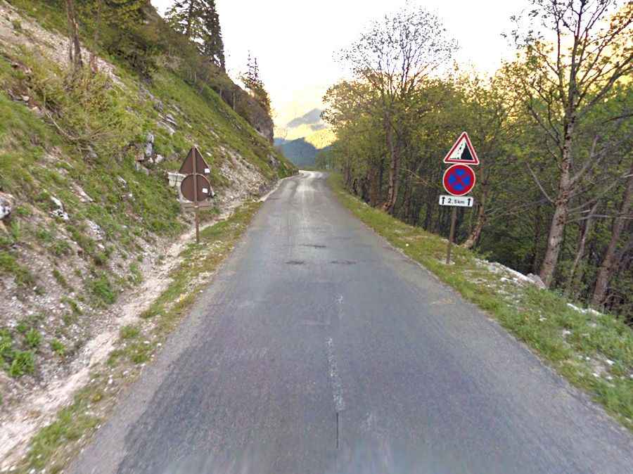
The road to the summit is totally paved. It’s called D4 (Route de la Colombière). The pass is 30km (18.64 miles) long, running from Le Grand-Bornand to Scionzier.
Is Col de la Colombière open?
Set high in the Alps, the road to the summit is usually open from June to October.
How long does it take to drive through Col de la Colombière in France?
To drive the road without stopping will take most people between 45 and 60 minutes. The summit hosts a bar-restaurant, a parking lot, a souvenir shop, and a little church.
Is Col de la Colombière steep?
The road to the summit is very steep, hitting a 13% maximum gradient through some of the ramps. It’s one of the Tour de France classics and was first included in 1960. Starting from Le Grand Bornand, the ascent is 11.7 km long. Over this distance, the elevation gain is 690 meters. The average percentage is 5.9%, and the maximum slope is 12%. Starting from Scionzier, the ascent is 16.3 km long. Over this distance, the elevation gain is 1,108 meters. The average percentage is 6.8%, and the maximum slope is 12%.