Road to Refugi de Marialles: A Technical Drive in the Canigó Massif
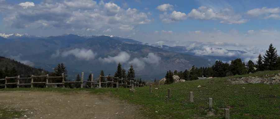
Located in the Pyrénées-Orientales department of southern France, Refugi de Marialles (also known as Refugi de Mariailles) is a high mountain refuge at an elevation of 1,718m (5,636ft) above sea level. Nestled within the Massís del Canigó, the access route is a challenging forest track.
| Road facts: Refugi de Marialles | |
|---|---|
| Location | Pyrénées-Orientales, France |
| Elevation Gain | 906 m |
| Length | 9.7 km (6.0 miles) |
| Average Gradient | 9.34% |
| Surface | Unpaved / Gravel |
How is the road to Refugi de Marialles?
The road to the refuge is 9.7 km (6.0 miles) long, starting from the junction with the paved D6 road. The ascent proceeds via the Col de Jou. The entire track is unpaved, featuring a gravel surface that can become unstable due to heavy runoff. Over the 9.7 km distance, the road climbs 906 meters, with an average gradient of 9.34%. The route is demanding, and features 9 sharp hairpin turns.
What are the hazards on the road to Refugi de Marialles?
The road is challenging due to the loose gravel surface, steep ramps and narrow parts. It often lacks safety barriers, with significant drops on the exposed side of the massif. After rainfall, the gravel can wash out, creating deep ruts that require a high-clearance vehicle to drive without damaging the underbody. Heavy snow accumulation in the winter months typically renders the road impassable, often leading to seasonal closures.
Is the road to Refugi de Marialles open year-round?
Access to Refugi de Marialles is highly dependent on seasonal weather conditions in the Pyrenees. While the lower sections near Col de Jou may remain clear, the upper ramps at 1,700m are prone to ice and persistent snowbanks. There are no services, fuel, or assistance points along the 9.7 km climb. Driving is recommended during daylight hours, as the track is unlit and the irregular rock edges are difficult to distinguish after dusk.
Pic: Yannick Chatelain