Navigating the Road to Col d'Espreaux: Twists and Turns in the Alps
Col d'Espréaux is a high mountain pass at an elevation of 1.160m (3,805ft) above sea level, located in the Hautes-Alpes department of France.
Where is Col d'Espreaux?
The pass is located in the Provence-Alpes-Côte d'Azur region, in the southeastern part of the country. It links the Buëch and Durance valleys.
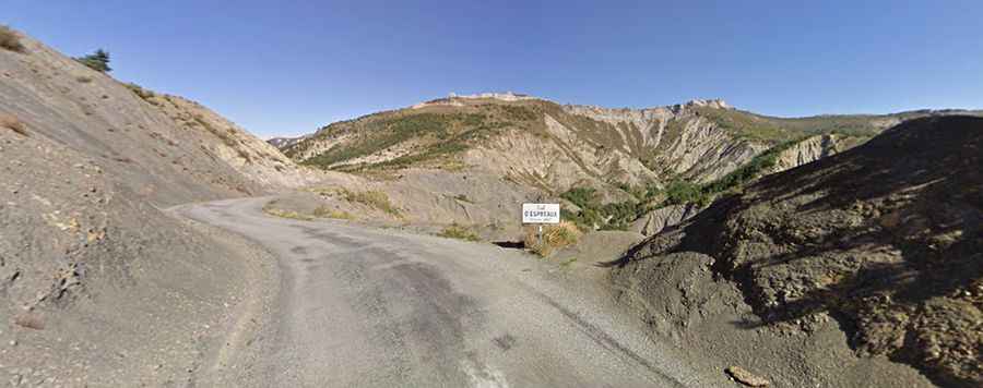
Is Col d'Espréaux in the Alps paved?
The road to the summit, called D20 or Col d'Espréaux road, is fully paved. However, loose gravel on the surface can make the drive challenging, especially during descents. The road is steep, with a maximum gradient of 9.1%, and is quite narrow.
How long is Col d'Espréaux in the Alps?
The pass is 13.0 km (8.07 miles) long, running north-south from Châteauneuf-d'Oze to Barcillonnette.
Why is Col d'Espréaux in the Alps famous?
Col d'Espréaux has been featured in the Tour de France and the Monte-Carlo Historic Rally. It's significant for Monte-Carlo rally participants, who traverse both this pass and the neighboring Col de Faye during a special stage.