A sensational paved road to Col de la Llose in the French Pyrenees
Col de la Llose is a high mountain pass at an elevation of 1,866 m (6,122 ft) above sea level, located in the Occitanie region of France.
Where is Col de la Llose?
The pass, also known as Coll de la Llosa, is located in the Pyrénées-Orientales department, in the southern part of the country.
What’s at Col de la Llose?
Set high in the Pyrenees, a range of mountains in southwest Europe that forms a natural border between France and Spain, at the summit there’s a ski resort known as Site de ski de fonds du Capcir and a big parking lot. At the summit, a minor unpaved road climbs up to Puig de la Tossa and Pic de Figuéma.
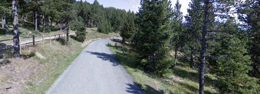
Is the road to Col de la Llose paved?
The road through the pass is fully paved, yet curvy, with a few hairpin turns, and very narrow in parts. It can be challenging if you meet an oncoming car. It’s called D4C. It’s steep, hitting 9.5% through some of the ramps.
How long is the road to Col de la Llose?
The pass is 9.3 km (5.77 miles) long, running south-north from La Llagonne to Ayguatébia-Talau. Starting from La Llagonne, the ascent is 3 km long. Over this distance, the elevation gain is 167 meters. The average percentage is 5.57%.