Col de Vergio is Corsica's highest paved pass
Col de Vergio is a mountain pass at an elevation of 1.478m (4,849ft) above sea level, located on the island of Corsica. It’s said to be Corsica's highest road pass. It’s one of the highest roads of Corsica.
Where is Col de Vergio?
The pass is located on the boundary between the Haute-Corse and the Corse-du-Sud departments in the northwestern part of the island.
Is the road to Col de Vergio paved?
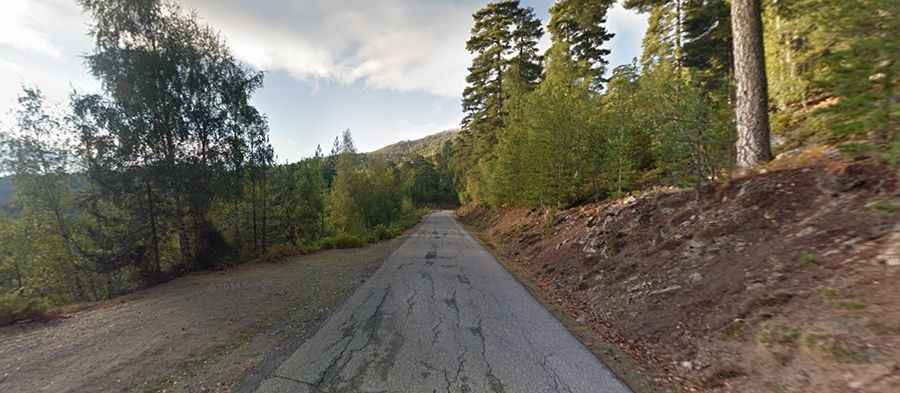
The road to the summit, also known as Bocca à Verghju, is totally paved. It’s called D84. There are dramatic sections just below halfway up on both sides. The road is pretty dangerous because some animals often live in freedom. Close encounters with wild pigs, goats, and cows can be guaranteed on this pass. The pass is the highest point of the road. At this elevation, Col de Vergio is Corsica's highest road pass. It is, with the passes of Vizzavona, Verde and Bavella, one of the four great passes of Corsica, connecting the two sides of the island.
Is Col de Vergio open?
Running through a sensational rocky landscape, the summit hosts a big parking lot and a big granite statue (Christ the King) since 1984. The absence of vegetation provides stunning views over the surrounding hills. The road is open all year round.
How long is Col de Vergio?
The pass is 33km (20.5 miles) long running from Évisa (in the Corse-du-Sud department) to Albertacce (in the Haute-Corse department). The road has steep parts, hitting a 7.9% of maximum gradient through some of the ramps. The road climbs up one of Corsica's most stunning mountains.