Driving a high mountain road to Col d'Andrion in the French Alps
Col d'Andrion is a high mountain pass at an elevation of 1.667m (5,469ft) above sea level, located in the department of Alpes-Maritimes of France.
Where is Col d'Andrion?
The pass is located in the Provence-Alpes-Côte d'Azur region, in the southeastern part of the country. The pass links the Vésubie River valley and the valley of the Tinée River.
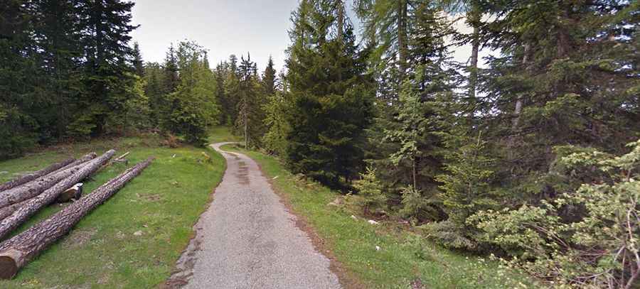
Is the road to Col d'Andrion paved?
Set high in the Alps, the road to the summit is totally paved. It’s called D332.
What’s on top of Col d'Andrion?
At the summit there is a former military camp called Granges de la Brasque.
Is Col d'Andrion challenging?
The drive is not for the sissies. It’s paved, filled with potholes, and extremely narrow, totally impassable for 2 cars at the same time. The climb is very steep, hitting a 13.3% of maximum gradient through some of the ramps.
How long is Col d'Andrion?
The road is 19.7 km (12.24 miles) long, running from La Tour to Les Granges de la Brasque.