A Nice Road to Col de Valberg in the Alpes Maritimes
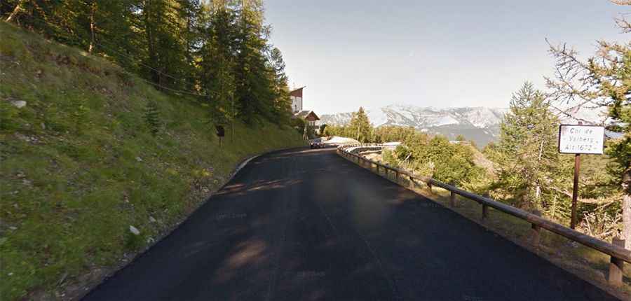
Col de Valberg is a high mountain pass at an elevation of 1,672m (5,475ft) above sea level, located in the Alpes-Maritimes department of France.
Where Is Col de Valberg?
The pass is situated in the Provence-Alpes-Côte d'Azur region, in the southeastern part of the country, within the Mercantour National Park.
How Long Is Col de Valberg?
The wide road to the summit is fully paved and known as D28. The pass spans 19.7 km (12.24 miles), running west-east from Guillaumes to Beuil. It sees a fair amount of traffic in the summer months.
How Steep Is Col de Valberg?
Col de Valberg has been featured in the Tour de France bicycle race. The road is steep, with a maximum gradient of 11% on some ramps. Starting from Guillaumes via St. Brès, the ascent is 13.2 km long, with an elevation gain of 880 meters and an average gradient of 6.7%. Starting from Beuil, the ascent is 6.1 km long, with an elevation gain of 231 meters and an average gradient of 3.8%.