The picturesque road to Pas de Morgins
Pas de Morgins is an international high mountain pass at an elevation of 1.378m (4,520ft) above the sea level, located on the border of France and Switzerland.
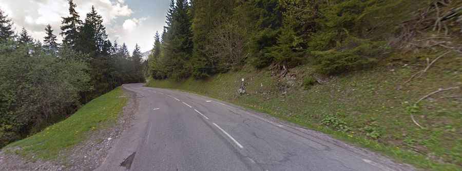
Nestled in the Alps, the pass links the canton of Valais in Switzerland and the Haute-Savoie department in the Auvergne-Rhône-Alpes region in south-eastern France. The road to the summit is totally paved. It’s called D22 on France and Route de Bas-Vièze in Switzerland. On the Swiss side, you have a nice drive and views, while on the French side you pass a few picturesque French towns.
The pass is 30.4 km (18.88 miles) long running from Abondance to Monthey. The road is usually kept open throughout the year. The road to the summit is a bit steep, hitting a maximum gradient of 10.5% through some of the ramps. The summit is located on a large mountain plateau.
There are 2 routes to reach the summit. On the French side, starting from Abondance, the road is 8km long. It’s not pretty steep but on the last 800m the slope is 8%. On the Swiss side, from Monthey, the first 11km are steep, with averages of 7-8%, and a maximum slope of 10%. But the last 6km, the average is just 2-5% and the last meters are going down.