The road to Col Nazie is pure adventure
Col Nazie is a high mountain pass at an elevation of 1.902m (6,240ft) above sea level, located in the Isère department of France.
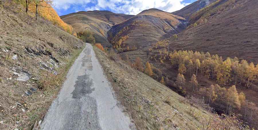
Where is Col Nazie?
The pass is located in the Auvergne-Rhône-Alpes region, in the southeastern part of the country.
Is the road to Col Nazie unpaved?
The road to the summit is mostly paved. It features very narrow parts impassable for 2 cars at the same time, and steep sections. It’s very curvy, with 5 sharp hairpin turns.
How long is the road to Col Nazie?
Starting from Besse en Oisans, the road to the summit is 4.9 km long. Over this distance, the elevation gain is 344 m and the average gradient is 7.02%.
How to drive the unpaved road to Col de Saint Georges?
North of the pass, a good quality gravel road leads to Col de Saint Georges, a high mountain pass at an elevation of 2.245m (7,477ft) above sea level. Near the summit there’s an abandoned mountain hut known as Chalet Josserand. Starting from Col Nazie, the road to the summit is 4.5 km long. Over this distance, the elevation gain is 378m and the average gradient is 8.40%. It’s narrow and curvy, with 7 hairpin turns.