How to drive to Mount Saleve, the "Balcony of Geneva"?
Mount Saleve is a mountain pass at an elevation of 1,379m (4,524ft) above sea level, located in the Haute-Savoie department of France.
Where is Mount Saleve?
The pass is located in the Auvergne-Rhône-Alpes region, in the southeastern part of the country, near the Swiss border.
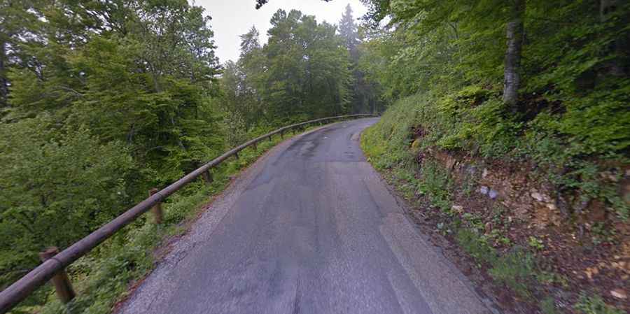
Is Mount Saleve paved?
The road to the summit is totally paved, but not easy, as it comprises narrow parts, many curves and a few hairpin turns. It’s called D41A. The climb is wild, hitting 10% through some of the ramps.
How long is Mount Saleve?
The road through the pass is 29.4 km (18.26 miles) long, running north-south from Vétraz-Monthoux (in the northern part of Haute-Savoie and right next to the Swiss border) to Cruseilles (12 km south-southeast of Saint-Julien-en-Genevois).
Is Mount Saleve worth the drive?
Set high in the French Prealps, the summit is also called the "Balcony of Geneva." The drive provides stunning views. At the summit, you will be treated to a magnificent view of Geneva and its surroundings, and Geneva lake basin, the airport, Jura, Dents du Midi, Aiguille Verte, and Mont Blanc.