A narrow road to Col de l’Espaul in the Mercantour
Col de l’Espaul is a high mountain pass at an elevation of 1.752m (5,748ft) above sea level, located in the Alpes-Maritimes department of France.
Where is Col de l’Espaul?
The pass is located in the Provence-Alpes-Côte d'Azur region in the southeastern part of the country. At the summit is a big parking lot.
Can I drive to Col de l’Espaul in the Mercantour?
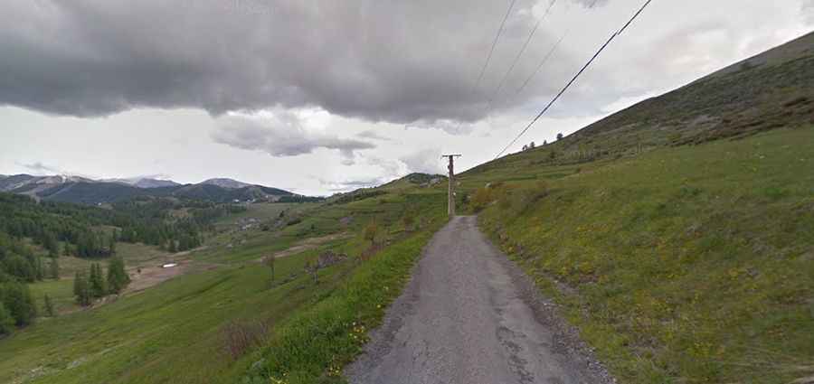
The road to the summit is called Route de la Colle. It is narrow and steep, hitting a 10% of maximum gradient through some of the ramps.
Is the road to Col de l’Espaul in the Mercantour paved?
Set high in the Mercantour Massif, the road to the summit is paved (in poor condition). It was asphalted since they built a golf course at the location.
How long is Col de l’Espaul?
Tucked away in the Mercantour National Park, the road ends at the summit. It is 2.9km (1.80 miles) long starting at Rue Saint-Jean of Péone.