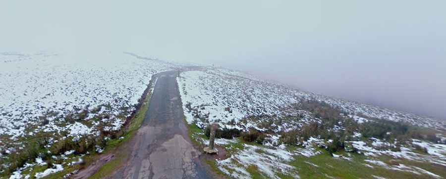
A steep paved road to Col de Mehatche in the Pyrenees
Col de Méhatché is an international mountain pass at an elevation of 716m (2,349ft) above sea level, located on the Spanish-French border.
Where is Col de Mehatche?
Situated in the Pyrenees mountain range, the pass, also known as Artzamendiko Bidea, is located on the border of Spain and France. It links the autonomous community of Navarre with the Pyrénées-Atlantiques department in the Nouvelle-Aquitaine region.
How long is the road to Col de Mehatche?
The pass, is 4.1km (2.54 miles) long, running from Col des Veaux to Sommet de l'Artzamendi. At the summit, there's a small parking lot.
Is the road to Col de Mehatche challenging?
The road has some narrow parts, so proceed cautiously and hope no other vehicles come from the other direction. Not recommended if you don't know how to reverse. The road, with numerous turns and steep sections, hits a maximum gradient of 17.2% on some ramps.