An iconic road to Col de Puymorens in the Pyrenees
Col de Puymorens is a high mountain pass at an elevation of 1,920 meters (6,299 feet) above sea level, located in the Pyrénées-Orientales department in France.
Where is Col de Puymorens?
The pass is situated in the Occitania region, in the southern part of the country, near the northern Spanish border and the Mediterranean Sea.The area around the pass is perfect for an adventure. For those wanting to experience it with the freedom of a mobile home, check out Yescapa for campervan and motorhome rentals
Is Col de Puymorens Paved?
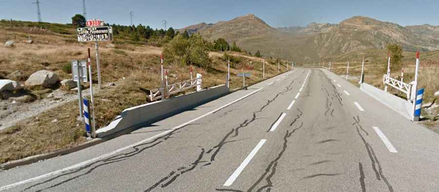
The road to the summit is fully paved and is known as N320. It experiences significant traffic throughout the climb, including heavy goods vehicles. The road features steep sections, with a maximum gradient of 7.7% on some ramps, and has been featured in the Tour de France bicycle race.
How Long is Col de Puymorens?
The pass is 10.7 kilometers (6.64 miles) long, running from the N20 Road to the N22 Road in a south-north direction.
Is Col de Puymorens Open in Winter?
Located high in the Pyrenees, the pass is typically open year-round, but short-term closures can occur in winter due to hazardous weather conditions. It was bypassed by a tunnel in 1994.