How to drive the defiant unpaved road to Col des Cortalets?
Col des Cortalets is a high mountain pass at an elevation of 2.050m (6,725ft) above sea level, located in the Pyrénées-Orientales department in France.
Where is Col des Cortalets?
The pass, also known as Ras dels Cortalets, is located in the Occitania region, in the southern part of the country. Near the summit there’s a mountain hut known as Refuge des Cortalets.
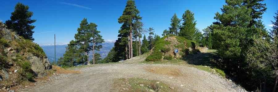
Is the road to Col des Cortalets unpaved?
The road to the summit is gravel with some short-paved sections. In any case, driving 4WD is recommended due to uneven surface. It’s a very curvy drive, with 39 hairpin turns. It’s a shelf road in parts, with dangerous drops.
How long is the road to Col des Cortalets?
The road through the pass is 25km long, running from Clara to a tap water at Ravin de Prat.
How to drive the road to Col des Voltes?
A few kilometers before the pass, the road climbs up to Col des Voltes, a high mountain pass at an elevation of 1.823m (5,980ft) above sea level.
Pic: R@ch