Le Mauvais Pass, a narrow road to the summit
Le Mauvais Pass is a high mountain pass at an elevation of 1.779m (5,836ft) above the sea level located in the department of Hautes-Alpes in France, close to the Italian border.
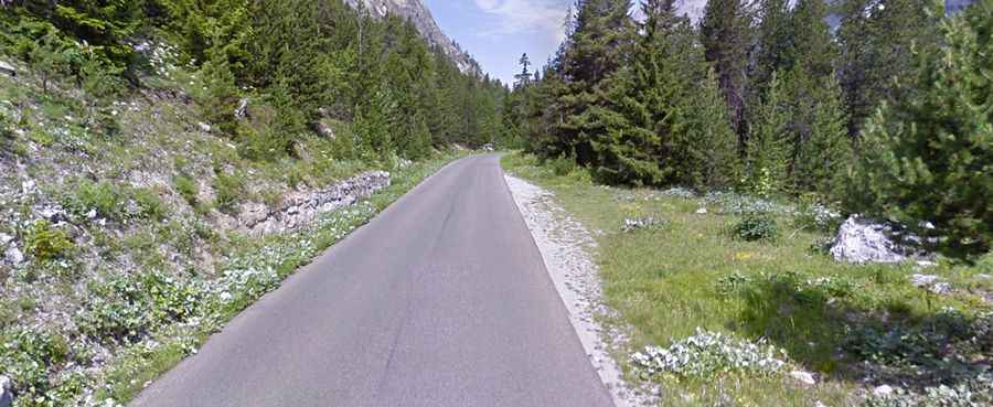
Nestled in the Alps, the road to the summit is totally paved. It’s called D1T. The pass is 13.4km (8.32 miles) long, running from Névache (in the Hautes-Alpes department in southeastern France) to Bardonecchia (in the Metropolitan City of Turin, in the Piedmont region of Italy). This pass and the slightly lower Col de l’Échelle/Colle della Scala (1.762m) are only 2.2 km apart on each side of the flat pass stretch.
The road to the summit is steep, hitting a maximum gradient of 12.1% through some of the ramps. It gets a decent amount of traffic in summer. It is the lowest mountain pass between France and Italy. The road is quite nice at the pass height and the views from the higher section on the Italian side are very good. It climbs through woods and in short time reaches the pass. There are no houses along this road and only an abandoned custom house at the top.
There are 2 routes to reach the summit. From La Vachette (in France), the ascent is 17 km long with a gain of 391 meters and an average percentage of 2.3 %. And from Bardonecchia, the ascent is 8.84 km long, gaining 476 meters and an average percentage of 5.4 %. The road is better on the Italian side, but two unlit tunnels near the top require care.