Driving the unpaved road to Col de la Legette in the French Alps
Col de la Légette is a high mountain pass at an elevation of 1.776m (5,826ft) above sea level, located in the Savoie department of France.
Where is Col de la Légette?
The pass is located in the Auvergne-Rhône-Alpes region, in the south-eastern part of the country. There’s a parking lot at the summit.
Is the road to Col de la Légette unpaved?
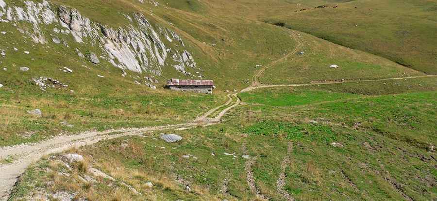
Located to the east of Col de la Lezette, the road to the summit is mostly unpaved. It’s called Route des Crêtes.
Is the road to Col de la Légette open in winters?
Set high in the Alps mountain range, the road is usually impassable in winters.
How long is the road to Col de la Légette?
The road to the summit is 2.5 km (1.55 miles) long starting from D218B road, on Les Saisies. Over this distance, the elevation gain is 120 meters. The average gradient is 4.8%.
Pic: http://randonneessportives.over-blog.com/2014/07/s-jpr.html