How to drive the Route des Alpages to Col du Pradier in Savoie?
Located in the Savoie department of southeastern France, Col du Pradier is a high mountain pass at an elevation of 1,450m (4,757ft) above sea level. The climb follows the Route des Alpages.
| Road facts: Col du Pradier | |
|---|---|
| Location | Savoie, France |
| Elevation | 1,450 m (4,757 ft) |
| Length | 4.0 km (2.5 miles) |
| Avg Gradient | 7.7% |
| Surface | Paved & Gravel |
How long is the road to Col du Pradier?
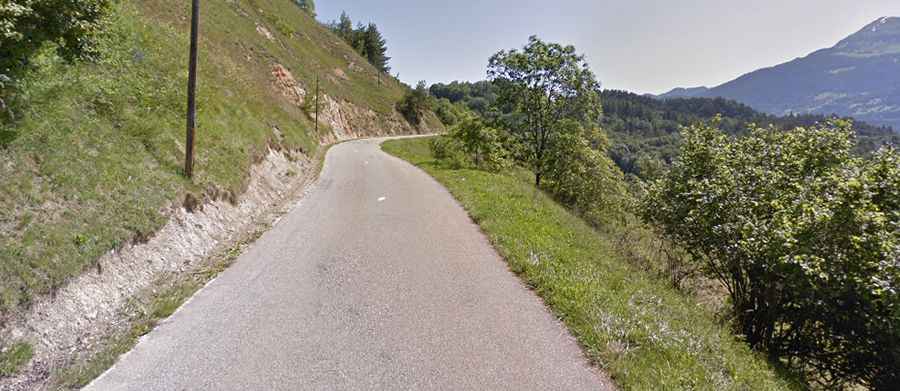
The ascent to the pass starts near Saint-Marcel, leaving the paved D85 road. The total climb is 4.0 km (2.5 miles) long with an elevation gain of 308 meters. The average gradient is 7.7%, but the difficulty increases significantly in the final stretch. Expect tight corners where visibility is limited by the mountain slopes and local vegetation.
Is the road to Col du Pradier paved?
While the first part of the Route des Alpages is asphalted (very narrow and winding), the last 1.4 km to reach Col du Pradier is unpaved. This section features a gravel surface that is more akin to a mule path than a maintained road. It is rocky, uneven, and can be washed out after heavy rains. High ground clearance is necessary for this final part to avoid underbody damage.
How challenging is the road to Col du Pradier?
The primary hazards are the lack of passing space and the loose surface on the final 1.4 km. There are no safety barriers, and the drops on the side of the track are steep. Due to the narrowness of the Route des Alpages, this road is not suitable for large campers or trailers.
Is the road to Col du Pradier open year-round?
In winter, the road is typically blocked by snow and is not maintained for public transit. Even in late spring, the gravel section can be very muddy due to snowmelt.