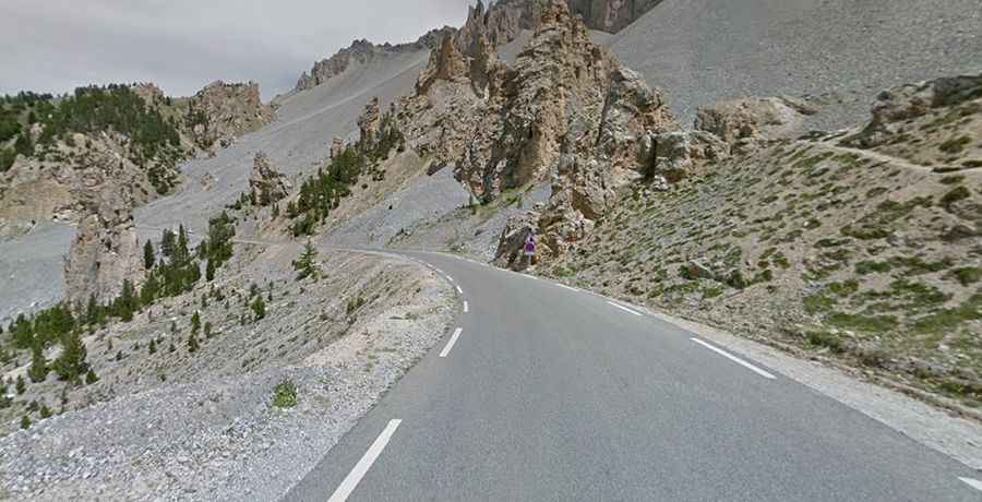
A paved road to Col de la Platriere in the French Alps
Col de la Platrière is a high mountain pass at an elevation of 2.220m (7,283ft) above sea level, located in the Hautes-Alpes department of France.
Where is Col de la Platriere?
The pass is located in the Provence-Alpes-Côte d'Azur region, in the southeastern part of the country. The pass is located two and half kilometers south to the popular Col d'Izoard.
Is Col de la Platriere paved?
Set high in the French Alps, the road to the summit is totally paved, with narrow parts and countless hairpin turns. It’s called D902. Atop there’s a small parking lot, the famous Casse Deserte. The climb is frequently featured in the Tour de France race. At the pass itself, a short climb to the orientation boards is worthwhile.
How long is Col de la Platriere?
The road to the summit is 23.6 km (14.66 miles) long, running south-north from Arvieux to Cervières. It is very steep, hitting a 12% of maximum gradient through some of the ramps. It has dangerous drop offs.