An awe-inspiring road to Col du Raspaillon
Col du Raspaillon is a high mountain pass at an elevation of 2,525 m (8,284 ft) above sea level, located in the Provence-Alpes-Côte d'Azur region of France.
Where is Col du Raspaillon?
The pass, also known as Col des Granges Communes or Col de Vermillou, is located near the iconic Col de la Bonette if coming from the south, on the boundary between Alpes-Maritimes and Alpes-de-Haute-Provence departments, within the Mercantour National Park, not far from the Italian border.
What’s at the summit of Col du Raspaillon?
The summit hosts the Ouvrage Granges Communes, a lesser work (petit ouvrage) of the Maginot Line's Alpine extension.
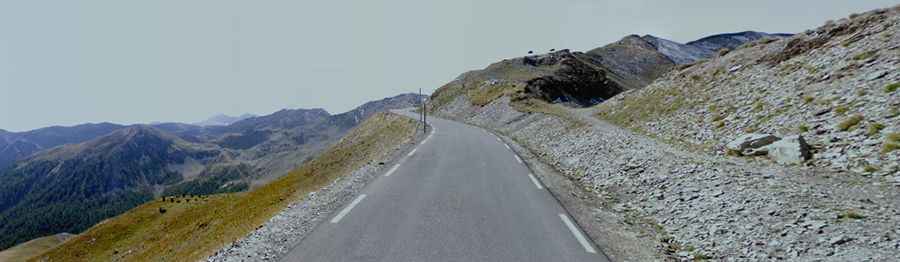
Is the road to Col du Raspaillon paved?
Located in the southeastern part of the country, between Saint-Étienne-de-Tinée (S) and Jausiers (N), the road to the summit is totally paved. It’s called D64, part of the scenic Route des Grandes Alpes.
When was the road to Col du Raspaillon built?
The pass was originally a mule track, and the first road through the pass was built in 1832.
Is Col du Raspaillon open?
Set high in the French Alps, the road is traditionally closed from late October through late June or early July.