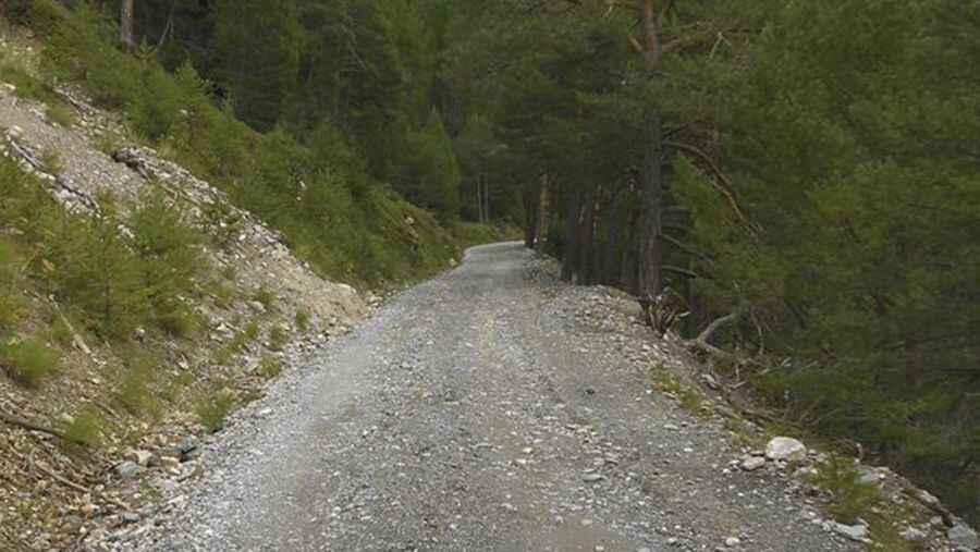
Explore the Heights: Conquering the Road to Sommet Bucher in the French Alps
Sommet Bûcher is a high mountain peak at an elevation of 2.215m (7,267ft) above the sea level, located, in the Hautes-Alpes department in the Provence-Alpes-Côte d'Azur region of France.

Is the road to Sommet Bucher paved?
Set high in the French Alps, within the Queyras valley, the road to the summit is mostly paved with a few dirt parts. It’s an old military road. Starting at Chateau Queyras, the ascent is 13.0 km (8.07 miles) long. A 4x4 vehicle is recommended The summit hosts a communication tower and a tiny mountain hut.
When was the road to Sommet Bucher built?
Located in the Queyras Regional Natural Park, the first road to the summit was built in 1892 by the troops of Général Henri Baron Berge in order to have easier access to the peak to overview the valley. It was this same general who also opened the Col d'Izoard (in 1897). The purpose of these roads was to allow to face the possible attacks of Italy implied at the sides of Germany and Austria-Hungary in the Triple Alliance (1882).
Is the road to Sommet Bucher steep?
Tucked away in the south-eastern part of the country, the road to the summit is very steep, hitting a 12% of maximum gradient through some of the ramps. Starting at Chateau Queyras, the elevation gain is 858 meters. The average gradient is 6.6%.
Pic: https://lesbaroudeursenvadrouille.wordpress.com/2016/03/04/de-lubaye-au-queyras/piste-sommet-bucher-1-2/