Driving the paved road to Col de Moissière in the Hautes-Alpes
Col de Moissière is a high mountain pass at an elevation of 1.575m (5,167ft) above sea level, located in the Hautes-Alpes department of France.
Where is Col de Moissiere?
The pass is located in the Provence-Alpes-Côte d'Azur region, in the southeastern part of the country.
Is Col de Moissiere in the Alps paved?
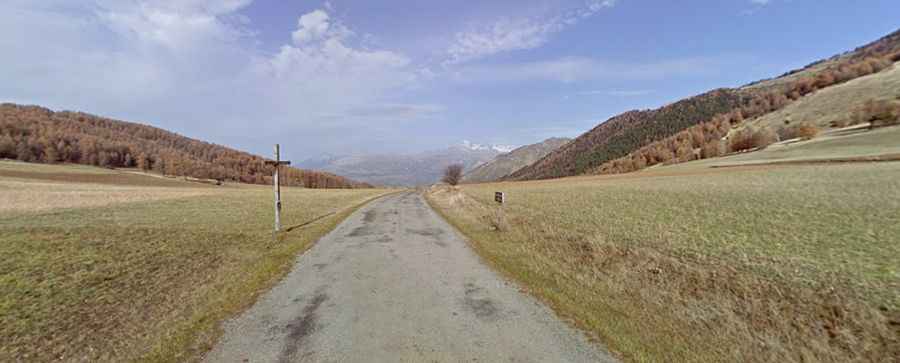
The road to the summit is totally paved. It’s called Route Départementale 213 (D213T).
Is Col de Moissiere in the Alps challenging?
The road is defiant, with bumpy and narrow parts. It is very steep, hitting a 14.6% of maximum gradient through some of the ramps.
How long is Col de Moissiere in the Alps?
The pass is 18.6 km (11.55 miles) long, running north-south from Saint-Léger-les-Mélèzes to La Bâtie-Neuve. It’s ideal for a peaceful bike ride.
Is Col de Moissiere in the Alps open in winters?
Set high in the Massif des Écrins of the Alps, the road is usually open year-round.