How difficult is the steep paved road to Mont Colombis in France?
Mont Colombis is a high mountain peak reaching an elevation of 1,734m (5,686ft) above sea level in the Hautes-Alpes department of southeastern France. Located in the Provence-Alpes-Côte d'Azur region, the climb to the summit is a relentless test for any vehicle. While the road is fully paved to serve the massive communication towers at the top, the sheer steepness and the narrowness of the track turn this 12-kilometer ascent into a high-altitude challenge where your brakes and engine will be pushed to their absolute limits.
| Road facts: Mont Colombis | |
|---|---|
| Location | Hautes-Alpes, France (Remollon) |
| Elevation | 1,734 m (5,686 ft) |
| Length | 12.3 km (7.64 miles) |
| Elevation Gain | 1,066 meters |
| Average Gradient | 8.7% (Max over 10%) |
How long is the steep climb to Mont Colombis from Remollon?
The ascent begins in the village of Remollon and covers 12.3 km (7.64 miles) of continuous climbing. In this relatively short distance, you gain a staggering 1,066 vertical meters. This creates an average gradient of 8.7%, but don't let that number fool you into thinking it's a steady drive. The road is notoriously irregular; the first major "wall" hits between kilometers 2.5 and 4, and the final 3.5 km stretch before the summit consistently exceeds 10% on average. This is a slow-speed climb where your engine will be working in low gears for the better part of an hour to reach the 1,734m peak.
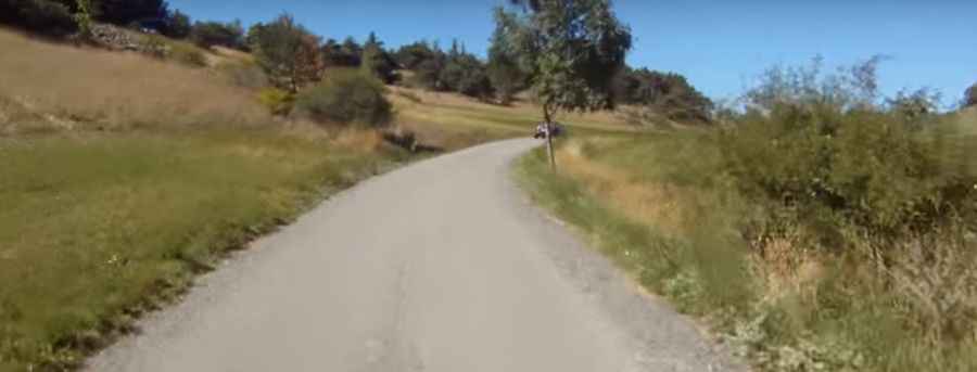
What is the road surface like on Mont Colombis?
The road to Mont Colombis is fully paved but extremely narrow. It was designed primarily for maintenance crews reaching the antennas at the top, so it lacks the width and safety features of a standard highway. The asphalt is in reasonably good condition, but the lack of shoulder room means that if you encounter a vehicle coming the other way, one of you will likely have to back up to a passing point. Along the way, you’ll drive past the "Demoiselles Coiffées," strange rock formations caused by erosion, but the focus must remain on the road—one small distraction on these narrow, unprotected ledges could be disastrous.
Why is the descent from Mont Colombis a hazard for brakes?
Coming down from Mont Colombis is just as dangerous as the climb. With a 1,066-meter drop over just 12.3 km, your braking system is under immense pressure. Relying solely on your brake pedals on the 10% gradients will cause them to overheat and fade, potentially leaving you with no stopping power on the tightest hairpins. It is mandatory to use engine braking by keeping the car in a low gear. The road is full of sharp turns where the asphalt can be slippery if there is loose gravel or mountain runoff, making every corner a test of control and mechanical respect for the mountain.
When is the best time to drive to Mont Colombis?
While the road is paved, its elevation means it is subject to the harsh weather of the Provence-Alpes-Côte d'Azur high country. Snow and ice can make the 10% ramps impassable from late autumn through early spring. The best time for the drive is during the summer months, but you must keep an eye on the temperature; the long, steep climb in low gears can easily lead to engine overheating. Before leaving Remollon, ensure your cooling system is 100% sound and your tire pressure is correct. At the summit, the exposure to wind is extreme, so even if it's warm in the valley, be prepared for a violent change in conditions at 1,734 meters.
Pic&video: Endorfinjunkie