Col de Meraillet is a chillout in the French Alps
Col de Méraillet is a high mountain pass at an elevation of 1.612m (5,288ft) above sea level, located in the Savoie department of the Auvergne-Rhône-Alpes region of France.
Where is Col de Méraillet?
Set high in the French Alps, on the southeastern part of the country, this is a pass on the way to/from Cormet de Roselend and Col du Pré.
Is Col de Méraillet paved?
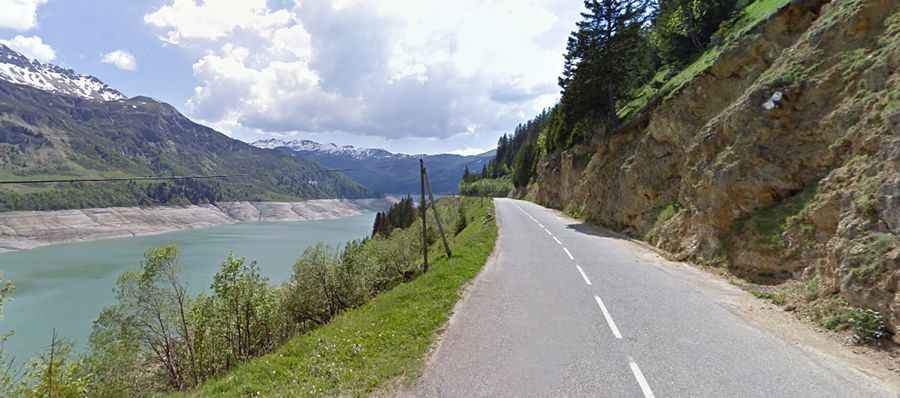
The road to the summit is totally paved with numerous hairpins and sweeping curves. It’s called D925, part of the Route des Grandes Alpes. Most of the road is in the forest. The climb featured in the Tour de France race.
How long is Col de Méraillet?
The pass is 39.7 km (24.66 miles) long running west-east from Beaufort to Bourg-Saint-Maurice. The drive offers stunning views of the deep blue Lac de Roselend and its dam. The road is steep, hitting a maximum gradient of 13% through some of the ramps. It is mostly pretty wide but there are narrow sections as well which should be approached with caution.