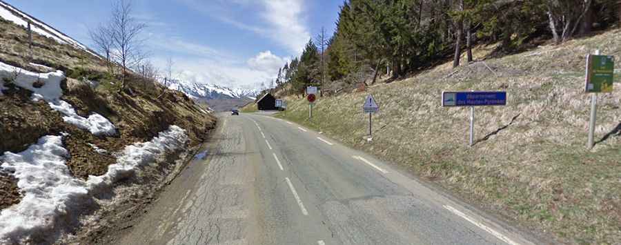
A beautiful road through a scenic valley to Col de Peyresourde
Col de Peyresourde is a high mountain pass at an elevation of 1,569m (5,148ft) above sea level, located in the Occitanie region of France.
Where is Col de Peyresourde?
The pass is located on the boundary between Haute-Garonne and Hautes-Pyrénées departments, in the south-western part of the country, near the Spanish border. At the summit there’s a parking lot and a small bar.
Is Col de Peyresourde paved?
The road through the pass is fully paved and in pretty good condition. It’s called D618. The climb gives you clear views to the surrounding mountains all the way up.
How long is Col de Peyresourde?
The pass is 23km (14 miles) long, running east-west from Bagnères-de-Luchon to Loudenvielle. It’s a beautiful climb through a scenic valley, but the highlight is definitely the final couple of kilometres up fantastic hairpins.
How steep is Col de Peyresourde?
The pass has been climbed multiple times by the Tour de France bicycle race. Flatter sections less than 3% are interspersed with steeper grades, generally under 8%, making it easier than many other Pyrenees climbs. Starting from Bagnères-de-Luchon, the ascent is 15.27 km long. Over this distance, the elevation gain is 939 meters (an average of 6.1%). The steepest sections are 9.8%. Starting from Loudenvielle, the climb is 8.3 km long. Over this distance, the elevation gain is 629 meters (an average of 7.6%).
Is Col de Peyresourde open in winter?
Set high in the central Pyrenees, the road is usually open year-round. It links the Aure and Louron valleys.