How to drive the paved road to Col de Solaison, a HC climb in the Haute-Savoie?
Col de Solaison is a high mountain pass at an elevation of 1.500m (4,921ft) above sea level, located in the Haute-Savoie department of France.
Where is Col de Solaison?
The pass, also known as Plateau de Solaison, is located south of Bonneville, in the Auvergne-Rhône-Alpes region, in the eastern part of the country, near the Swiss border. There’s a restaurant at the summit.
Is the road to Col de Solaison paved?
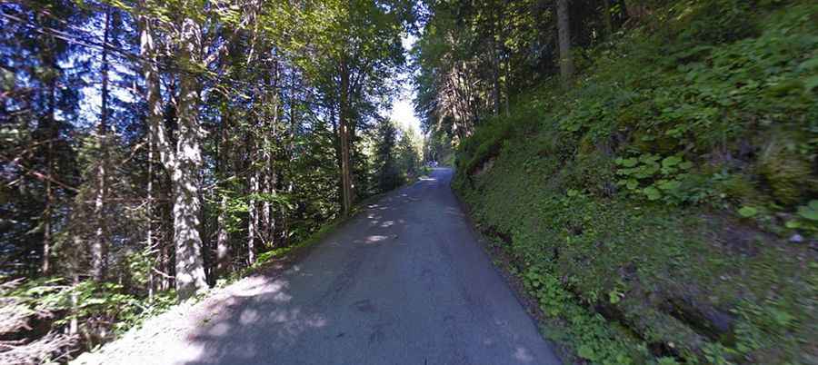
Starting from Brizon, the road to the summit is 6.3 km long. The dead-end road to the summit is totally paved.
How steep is the road to Col de Solaison?
It’s a very steep drive, with an average gradient of 9%. The last years is a frequent mountain finish in professional cycling. Classified as first category, it first featured as the Stage 4 finish of the 2014 Tour de l'Avenir, won by Kazakh rider Ilya Davidenok. Later rated Hors Catégorie (HC), the summit hosted the final stage of the 2026 Tour Auvergne-Rhône-Alpes, where Isaac del Toro took both the stage and overall victory, and has also served as a stage finish in the Critérium du Dauphiné. That same year, the climb made its Tour de France debut as the HC finish for Stage 15.
Is the road to Col de Solaison open year-round?
Set high in the Massif des Bornes of the French Alps, the road is usually open year-round, but short-time closures in winters are common.