A curvy scenic road to Col de la Couillole
Col de la Couillole is a high mountain pass at an elevation of 1.678m (5,495ft) above sea level, located in the Alpes-Maritimes department of France. The road through the summit is part of the scenic Route des Grandes Alpes.
Where is Col de la Couillole?
The pass is located in the Provence-Alpes-Côte d'Azur region, in the southeastern part of the country.
Is the road to Col de la Couillole paved?
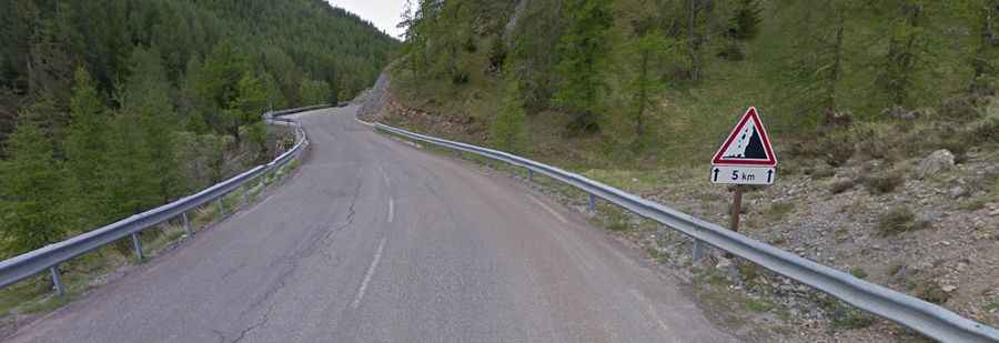
Set high in the Mercantour National Park, the road to the summit is fully paved. It’s called D30. Be aware that D30 changes to M30 after the col towards Saint Sauveur sur Tinée. It’s very steep and curvy, and narrow at points with a few hairpins and picturesque tunnels. It is very scenic and pleasant to ride.
How long is Col de la Couillole?
The pass is 23.4km (14.54 miles) long, running west-east from Beuil to Saint-Sauveur-sur-Tinée.
Is Col de la Couillole steep?
It has been climbed by the Tour de France bicycle race. Starting from St. Sauveur-sur-Tinée, at 504m above sea level, the climb is 15.7 km long, with an elevation gain of 1,174 meters. The average gradient is 7.5%. This climb is just an example of regularity. With nearly no section coming below 6%, and with several kilometers above 8% with peaks at 11%, this climb just goes up and up until the top is reached.
Is the drive through Col de la Couillole worth it?
There is an extremely picturesque small village near the road to the pass: Roubion. Literally, this is the end of the road, but it’s recommended to visit this village. There are also some hotels. However, coming from the side of Beuil, there are no hints about this village.