Piedra de San Martín is a drive worth taking
Col de la Pierre Saint-Martin (Piedra de San Martín) is a high mountain pass at an elevation of 1,760 m (5,774 ft) above sea level, located on the French-Spanish border. It’s one of only five roads with pigtails (nudo de corbata) in Spain.
Where is Col de la Pierre Saint-Martin?
The pass links the Pyrénées-Atlantiques department in the Nouvelle-Aquitaine region of southwestern France and the province and autonomous community of Navarre, in northern Spain. At the summit, there’s a large parking lot.
Is Col de la Pierre Saint-Martin paved?
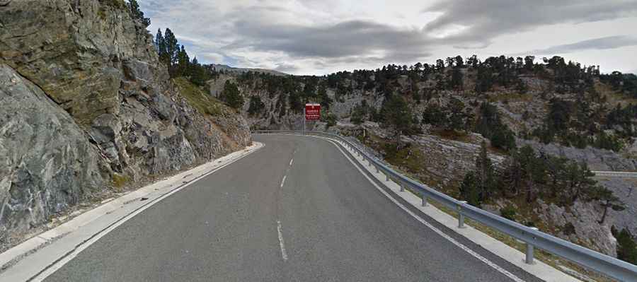
The road through the pass is fully paved. On the French side, it is called D132, and on the Spanish side, it is NA-1370. The drive is quite challenging, as it includes narrow sections, countless turns, numerous hairpin bends, and even a pigtail turn, known as Nudo de Corbata in Spain—a 360-degree curve. This turn is one of the most famous curves in the world, looping 270 degrees and passing under itself, similar to the iconic one on Sa Calobra Road in Mallorca.
How long is Col de la Pierre Saint-Martin?
Set high in the western Pyrenees, the road through the summit is 52 km (32 miles) long, running north-south from Arette (in southwestern France) to Isaba (in northern Spain). La Pierre Saint-Martin is ringed by contrasting landscapes and breathtaking scenery, making each climb up the pass a unique journey.
How steep is Col de la Pierre Saint-Martin?
The pass has been climbed in the Tour de France bicycle race. It’s quite steep in parts and includes very challenging sections. On the French side, the maximum gradient is 11.0%, and on the Spanish side, it is 7.4%. While it is not as difficult as Tourmalet or Hautacam, it can rival them in spectacular scenery.