How to get by car to Madone de Fenestre in the Alpes-Maritimes?
Madone de Fenestre is a high mountain chapel at an elevation of 1,904m (6,246ft) above sea level, located in the Alpes-Maritimes department of France.
Where is Madone de Fenestre?
The chapel is located in the Provence-Alpes-Côte d'Azur region, in the southeastern part of France, near the Italian border, within the Mercantour National Park.
Why is it called Madone de Fenestre?
The sanctuary owes its name to a hole in the Cayre de la Madone, a rock behind the building, where the Virgin is said to have appeared. Its baroque interior provides a striking contrast to the rugged mountain surroundings.
When was Madone de Fenestre built?
Although it is believed that this site may have been a Roman sanctuary, the Benedictines built the first structure in 887, naming it Our Lady of Grace. The sanctuary was destroyed by Saracens in the 10th century, then rebuilt and converted into a hospice by the Templars in the 13th century. After the disappearance of the Templars, the sanctuary came under the authority of the Cathedral of Nice and, starting in 1388, served as a vital passage and refuge for travelers journeying between Nice and Piedmont via the Col de Fenestre.
The sanctuary suffered fires in 1456 and again in 1793 during the Revolution, and it was restored in the 19th century, preserving its role as a religious and cultural landmark. It officially became French territory in 1947 following the Treaty of Paris.
The sanctuary houses a 14th-century polychrome statue of the Madonna, made of cedar of Lebanon, which is venerated by locals and visitors from the surrounding Piedmont. Celebrations take place every August 15 and September 8. On September 8, the statue is carried down in procession to Saint-Martin-Vésubie, where it remains for the winter.
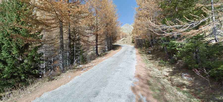
How long is the road to Madone de Fenestre?
The road to the chapel is fully paved. It’s called M94. The road features many turns and steep parts, and the climb is as irregular as possible. Starting from Saint-Martin-Vésubie, the ascent is 11.1 km (6.89 miles) long. Over this distance, the elevation gain is 936 meters, with an average gradient of 8.43%.