How to get by car to the abandoned Val Pelouse resort in Savoie?
Val Pelouse is an abandoned ski station at an elevation of 1.728m (5,669ft) above sea level, located in the Savoie department of France.
Where is Val Pelouse?
The resort was located in the Rhône-Alpes region in the southeastern part of the country. At the top there is a parking lot and absolutely nothing else. Not even a sign!
What’s the history of Val Pelouse?
With the development of winter sports in the Alps starting in the 1950s and 1960s—part of the "white gold rush" of the 1970s—the local councilors and mayors of Arvillard and La Rochette decided in 1969 to create a winter sports resort above their villages.
The initial infrastructure was small, consisting of only a few drag lifts and a chalet. The access road was laid out in 1969, and the following year, these two lifts served four slopes around a chalet-restaurant. Year after year, the ski area expanded, mainly frequented by local skiers and schools.
In 1976, the Signal 2000 building, constructed by the Compagnons du Devoir (a French craft guild), opened, featuring dormitories and a restaurant. Its unusual architecture quickly contributed to the resort's visual identity. The ski area reached its greatest extent during this period: five ski lifts served nine slopes between 1,520 and 1,890 meters in altitude, and it employed 25 people.
Despite the expansion, the area was never profitable. The long access road and the slopes were generally considered too steep for family skiing, though off-piste skiers appreciated the terrain.
Further expansions were planned, but optimistic attendance projections proved to be too low and did not offset the operating costs. The Signal 2000 building was a financial sinkhole that was never fully operational, and competition, particularly from the nearby Collet d'Allevard resort, was fierce.
With the gradual withdrawal of partners, and after La Rochette decided to stop subsidizing the area, the resort was forced to close in 1985. The Intercommunal Syndicate of Val Pelouse was officially dissolved on August 5, 1986. The ski lifts were quickly dismantled and resold, and the Signal 2000 building was taken apart and relocated to Aiton to become a restaurant.
Since then, the Val Pelouse site has become a free flight (paragliding/hang gliding) take-off site and a starting point for hikes, notably for the ascent of the Grands Moulins or the Pointe de Rognier.
Is the road to Val Pelouse paved?
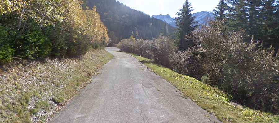
The road to the resort is fully paved. It’s called D208. There are a few really big holes and bad stretches. It’s worth paying attention on the way up to avoid disaster on the way down. Relentless and very steep, it’s a mediocre quality but deserted road, through the woods and then above the treeline with great views. Today the wide access road is in a poor state, although there is some obvious maintenance work because the area is used by summer walkers and especially paragliders.
How long is the road to Val Pelouse?
Starting from Arvillard, the ascent is 13.5 km (8.38 miles) long. The first 4 km are relatively benign; after that, the final 12.4 km average over 9%, and the last 10 km never get below that figure.
Is the road to Val Pelouse open in winter?
The road to the summit is closed during winter. It’s usually open only to Molliet, at an elevation of 728 m above sea level.