An epic mountain road to Signal de Bisanne
Signal de Bisanne is a high mountain peak at an elevation of 1,930m (6,332ft) above sea level, located in the Savoie department of France. This pass is one of only two climbs in France classified by the ASO as "Epic", which is similar to an Hors Catégorie (HC) climb.
Where is Signal de Bisanne?
The peak, also known as Mont Bisanne, is located in the Auvergne-Rhône-Alpes region, in the southeastern part of the country.
What’s at the summit of Signal de Bisanne?
At the top, there are chairlifts, numerous communication towers, and a restaurant known as Restaurant d'Altitude Panoramique 2000 Les Saisies, offering 360º panoramic views with Mont Blanc dominating the horizon.
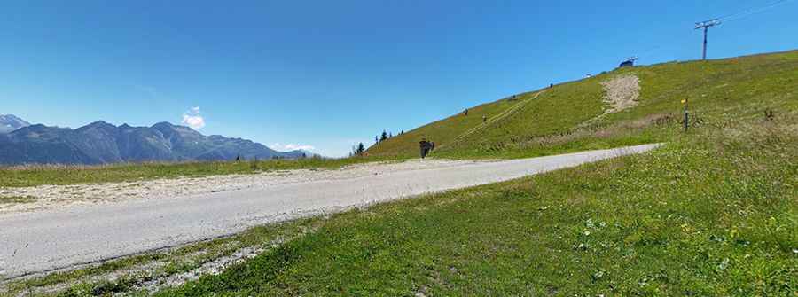
Is the road to Signal de Bisanne paved?
Set high in the Massif du Beaufortain, a mountain range in the Alps, the road to the summit is fully paved.
How long is the road to Signal de Bisanne?
The climb is tough and has been featured in the Tour de France. The most famous route to the summit starts from Villard-sur-Doron, at an elevation of 705m. The ascent is 14.4 km (8.95 miles) long, with an elevation gain of 1,225 meters (4,019 feet). The average gradient is 8.5%, with the final two kilometers averaging well over 10% and hitting 13.0% in some sections. Each of the 14 kilometers is marked with signage.
Pic: Augustin Delagarde