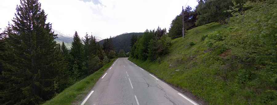
A scenic Alpine road to Col du Telegraphe
Col du Télégraphe is a high mountain pass at an elevation of 1,566m (5,138ft) above sea level, located in the Savoie department, in France. The pass is traversed by the scenic Route des Grandes Alpes.
Where is Col du Télégraphe?
The pass is located in the Auvergne-Rhône-Alpes region, in the southeastern part of the country.
Is Col du Télégraphe paved?
The winding paved road to the summit is very curvy, with 14 hairpin turns. It's called D902. Col du Télégraphe is so named because at the very top of the climb, there's a fortress, the Fort du Télégraphe, that used to have a semaphore telegraph on top of it, built in 1884. The fort is open for visitation during the summer months.
How long is Col du Télégraphe?
The pass is 17.5 km (10.87 miles) long, running from Saint-Michel-de-Maurienne to Valloire, as well as forming an access point to the Col du Galibier via its north face. At the summit are a few radio and TV towers. It's a rather large cement structure that can be seen from a long way.
Is Col du Télégraphe open?
Set high in the French Alps above the Maurienne valley, the road is normally open the whole year around.
Is Col du Télégraphe steep?
The road is very steep, with a maximum gradient of 10%. The Col du Télégraphe has been crossed multiple times by the Tour de France. Starting from Saint-Michel-de-Maurienne, the ascent is 11.8 km long. Over this distance, the elevation gain is 856 meters. The average percentage is 7.3%. Starting from Valloire, the ascent is 4.8 km long. Over this distance, the elevation gain is 165 meters. The average percentage is 3.4%.