A memorable road trip to Col de Montgenevre in the Cottian Alps
Col de Montgenèvre is a high mountain pass at an elevation of 1.854m (6,083ft) above sea level, located in the Hautes-Alpes department in the Provence-Alpes-Côte d'Azur region of France.
Where is Col de Montgenevre?
The pass, also known as Passo del Monginevro, is located in the southeastern part of France, near the Italian border.
Why is it called Col de Montgenevre?
The pass takes its name from the village Montgenèvre, which lies in the vicinity.
Why is Col de Montgenevre famous?
It is an important road connection between both countries. Its significance has always been in the fact that it is the lowest of the principal crossings of the main range of the Alps between both countries. It is considered a possible route for Hannibal's famous passage through the Alps.
Can you drive to Col de Montgenèvre?
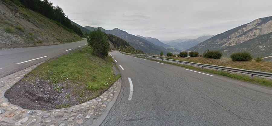
The road to the summit is entirely paved. It’s called N94 road. The drive offers fantastic views back towards Briançon.
Is Col de Montgenèvre open?
Set high in the Cottian Alps, the pass is kept open in winters.
How long is Col de Montgenèvre?
The pass is 20.6 km (12.80 miles) long, running from Briançon (in southeastern France) to Cesana Torinese (in the Italian region of Piedmont). It often experiences heavy traffic.
Is Col de Montgenèvre steep?
The road to the summit is steep, with an 11.7% maximum gradient through some of the ramps. The pass has been featured in the Tour de France race.