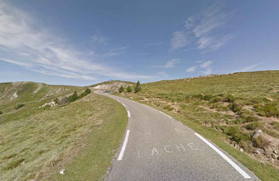
A paved road to Port de Pailheres heading deep into the Pyrenees
Port de Pailhères is a high mountain pass at an elevation of 2.001m (6,565ft) above sea level, located in the Ariège department, in France.
Where is Port de Pailhères?
The pass is located in the region of Occitanie, in the southwestern part of the country. The summit hosts a parking lot.
Is the road to Port de Pailhères paved?
Set high in the French Pyrenees, the road to the summit, also known as Col de Pailhères, is totally paved but pretty narrow. It’s called D25. There's very little traffic and the higher you get the greater the sensation of exposure. It’s one of the two paved road passes to top 2,000m in the French Pyrenées (the other being Col du Tourmalet).
Is the road to Port de Pailhères steep?
To drive the road without stopping will take most people between 35 and 50 minutes. The climb has featured in the Tour de France cycle race. The road is pretty steep, hitting a 15.9% of maximum gradient near the summit.
How long is the road to Port de Pailhères?
The road is 26km (16.15 miles) long, running west-east from Ax-les-Thermes to Mijanès.