Take the Scenic Route and Discover Col de la Charmette
Col de la Charmette is a mountain pass at an elevation of 1.284m (4,212ft) above the sea level, located in the Isère department of the Auvergne-Rhône-Alpes region of France.

Set high in the Chartreuse Alps, a massif between Chambéry and Grenoble, on the southeastern part of the country, there are 2 roads to the summit.
Southern side:
The road is totally paved but very narrow. It’s called D105. Starting at Saint-Égrève, the road is 11.5 km (7.14 miles) long. It’s a very steep drive, hitting a 17.1% of maximum gradient through some of the ramps. The elevation gain is 1026 meters. The average gradient is 8.92%.
Northern side:
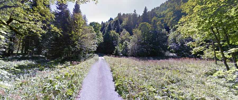
The road to the summit is simply extreme. It’s called Route Forestière de la Charmette. The road, with paved and unpaved sections, is 10km (6,21 miles) long. The road is not maintained and closed to cars. It has hairpin turns, dangerous drop offs, big holes and unlit tunnels. The road starts at the Gorges du Guiers Mort. Leaving St-Laurent-du-Pont heading into the Gorges du Guiers Mort there is almost immediately a tiny, unsigned, unlikely looking road to the right. The start is easy to miss, heading up to the Chartreuse de Curière monastery. But after the monastery starts this old and deserted cliff road, with 4 tunnels. This road has been abandoned since the beginning of the 1990s. Due to this abandonment, it is now largely degraded, the tar is burst on certain passages and small landslides of stones litter the road.