How to Get by Car to Lac d'Aumar, One of the Highest Paved Roads in the Pyrenees
Lac d'Aumar is a high mountain lake at an elevation of 2,192 m (7,191 ft) above sea level, located in the Hautes-Pyrénées department of France.
Where is Lac d'Aumar?
The lake, also known as Lac d'Aumer, is located east of Lac d'Aubert, in the Occitania region, in the southwestern part of the country, near the Spanish border.
Is the road to Lac d'Aumar paved?
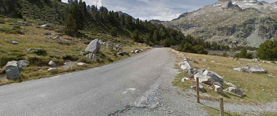
The road to the lake is totally paved. It comprises the D177 and D929 roads and is known as the Route des Lacs. The drive is pretty challenging, with steep parts and countless curves, including many hairpin turns. As the cliff road circles around towards the dam, the final stretch climbs some really fun hairpins.
How long is the road to Lac d'Aumar?
Starting from Aragnouet, the road to the lake is 15.7 km (9.75 miles) long. Over this distance, the elevation gain is 1,097 m, and the average gradient is 6.98%. The road features maximum gradients of 15%.
Is the road to Lac d'Aumar open in winter?
Set high in the French Pyrenees, the road to the lake is one of the highest paved roads in the French Pyrenees – higher than Col du Tourmalet. At this elevation, it’s usually impassable in winter.