How to reach Col des Tentes in the Pyrenees: road conditions and tips
Col des Tentes is a high mountain pass at an elevation of 2.208m (7,244ft) above the sea level, located in the department of Hautes-Pyrénées, in the region of Occitania, in France.
Where is Col des Tentes?
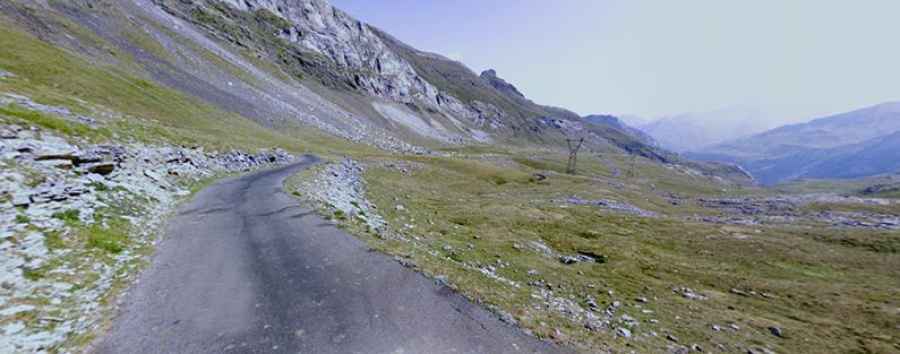
The road to the summit is fully paved and is named the D923 road. The quality of the road surface is poor. It was part of an old project to connect with Spain through the Port de Boucharo, but the Spanish section was never completed. To reach the summit, expect to ride through challenging sections of switchback turns (lacets). The summit offers breathtaking views of the central chain of the Pyrenees.
How long is the road to Col des Tentes?
Tucked away in the southwestern part of the country, the pass stretches 12.4 km (7.70 miles) from Gavarnie to Port de Boucharo, on the Spanish border. Most of the road is in very good condition, except for the last 1.5 km, which is closed to cars. At the summit, there's a large parking area that's often full during the summer. The road is quite steep, with some ramps reaching a maximum gradient of 11%.
Is Col des Tentes open?
Located high in the Pyrenees, a mountain range in southwest Europe that forms a natural border between France and Spain, the pass is typically accessible during the summer season, from May to November. However, travelers should be wary of frequent adverse weather conditions.