An Explorer's Guide to Col de la Bailletta
Col de la Bailletta is a high mountain pass at an elevation of 2.852m (9,356ft) above sea level, located in the Savoie department in France.
Where is Col de la Bailletta?
The pass is located in the Rhône-Alpes region, in the southeastern part of the country, within the Bailletaz Nature Reserve.
Is Col de la Bailletta unpaved?
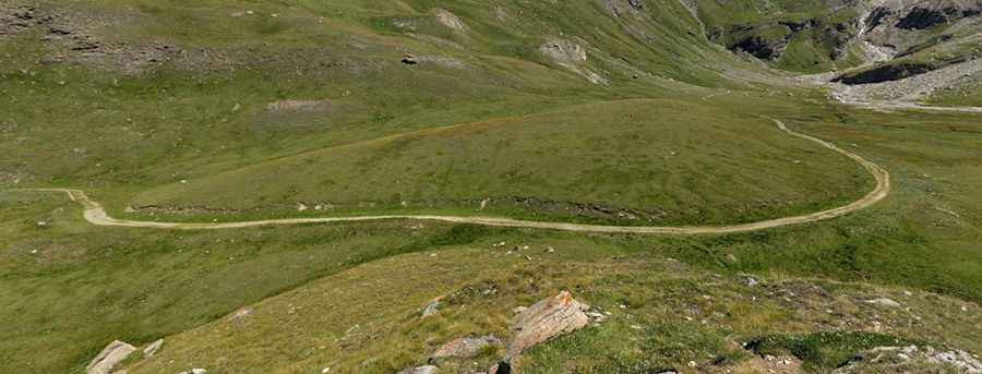
The road to the summit is mostly unpaved. Located in the Tarentaise Valley, the steep and stenuous trail starts by turning off the main road beside Lac du Chevril, in between a couple of tunnels, just below Val d’Isere. It is paved until Lac/Barrage du Saut (one of the highest paved roads in France). Below the reservoir, on the way to Lac de la Sassière, the road turns gravel.
How long is the road to Col de la Bailletta?
Starting from the paved D902 road, near Lac du Chevril, the trail/road to the summit is 9.4 km (5.84 miles) long. Take time to enjoy the incredible views all around you.
Can I drive my vehicle to Col de la Bailletta?
It’s a fairly wide old military gravel road climbing up the pass, but at 2700 metres, near Lac du Santel, the road seems to disappear (destroyed by landslides) and becomes a hiking trail. The last part is totally impassable for vehicles. It's one of the highest roads in the country.Pic: pascal desgardin