Driving the scenic road to Col de la Croix de Fer in the Alps
Col de la Croix de Fer is a high mountain pass at an elevation of 2.071m (6,794ft) above sea level located in the Savoie department of France. The pass is traversed by the scenic Route des Grandes Alpes.
Where is Col de la Croix de Fer?
The pass is located in the Auvergne-Rhône-Alpes region, on the southeastern part of the country, high in the French Alps. Col du Glandon is 2,5km to the west.
What does Col de la Croix de Fer mean in English?
Col de la Croix de Fer means the Pass of the Iron Cross. The summit hosts a small bar and a parking lot.
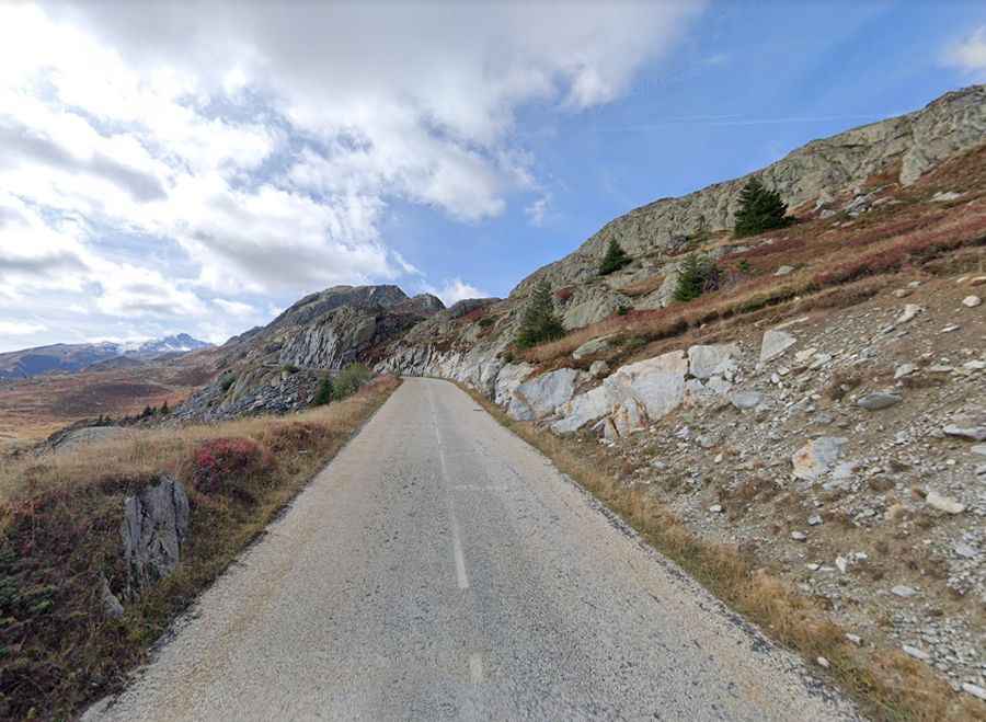
Is Col de la Croix de Fer paved?
The road to the summit is totally paved. It’s called D926. The route is undulating on both sides with short downhill sections when you climb with high mountains views on both sides full of waterfalls from melting snow.
How long is Col de la Croix de Fer?
The pass is 34.2 km (21.25 miles) long, running west-east from the turquoise Lac de Grand'Maison to Saint-Jean-de-Maurienne.
Is Col de la Croix de Fer challenging?
The road to the summit features countless turns and narrow parts. It is very steep, hitting a 15.5% of maximum gradient through some of the ramps. The pass has featured in the Tour de France many times since it was first passed in the 1947 tour when the race was led over the summit by Fermo Camellini and organizers wanted to add a little difficulty to a stage before climbing Col du Galibier via Col du Télégraphe.